
25T06 Day trip to DU with DE-Ticket
E05, C02.
Gerhard Mercator was a 16th-century geographer and cartographer whose techniques of the time revolutionized map-making. Named after him is the Mercator projection which he created for a world map in 1569. The Mercator is one of the most widely used projections to map the entire world.
Gerhard Mercator. Duisburg, Germany. I wanted to go and find out.
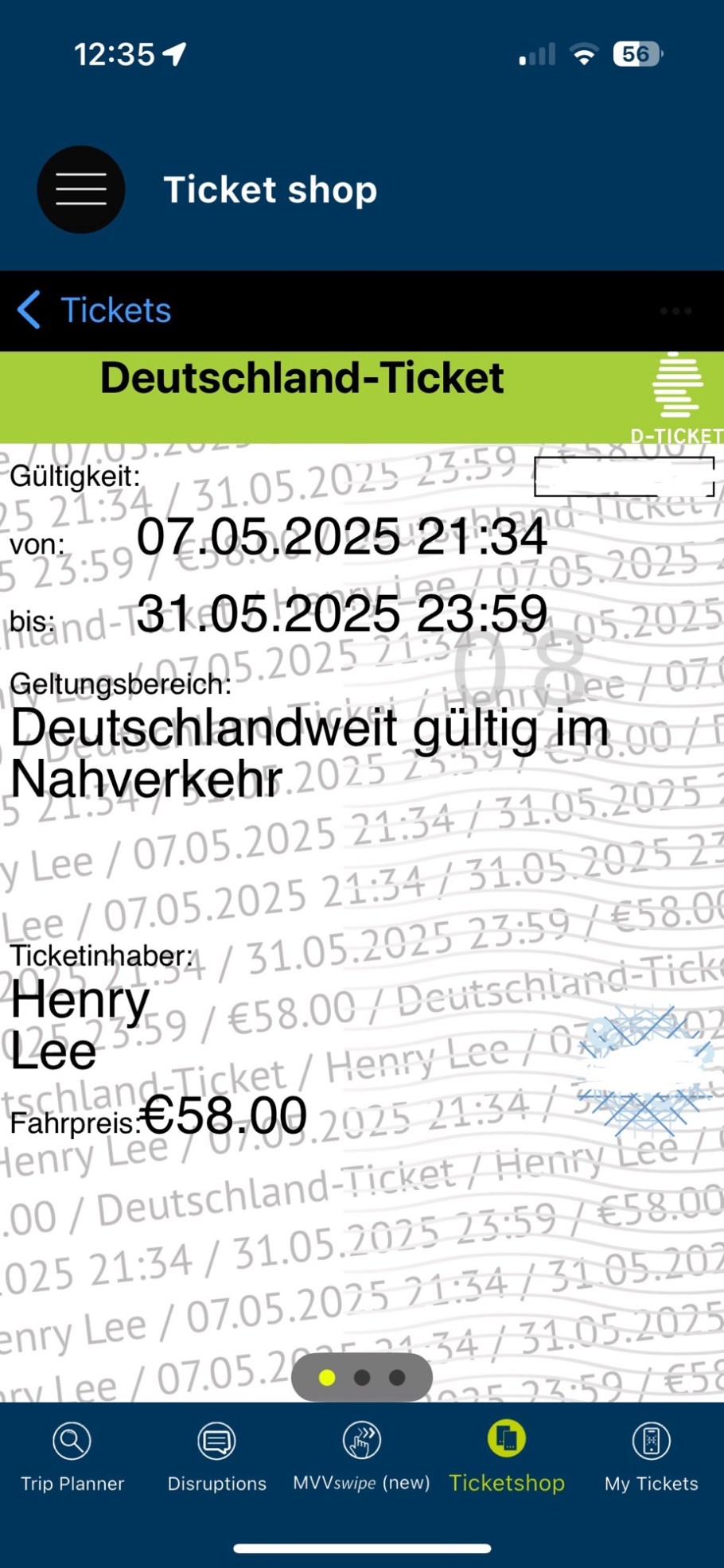
I purchased a new Deutschland-Ticket (DE-Ticket) for 58€ which allows for travel on all modes of city and regional transport. With the ticket “embedded” in the iOS app, it is a simple matter of displaying the ticket’s digital QR-code for the inevitable on-board fare inspection.
From Köln, I travelled first on one of the city’s trams from my hotel to the nearest train station Messe-Deutz, where I caught a RE regional-express train northbound to the central station in Duisburg (DU). Upon arrival, I got onto the city’s 901 tram for the short ride to the stop at Rathaus. All of this multimodal travel is included in the DE-Ticket, as well as my return to Köln.
Born in Flanders in 1512, Gerhard Mercator eventually moved to the vital imperial trade port of Duisburg in 1552, where he lived until his death in 1594. He was buried in Duisburg’s oldest house of worship, Salvatorkirche (Church of Our Saviour), located next to the Rathaus (city hall). Although bombing in World War 2 brought severe damage, the grave plate remained relatively intact, and subsequently repaired and restored. The epitaph is presently mounted inside on the church’s south wall to the right of the main altar.
I include additional images of the Mercatorbrunnen (Mercator memorial fountain) in front of the Rathaus, and the sculpture “Hommage À Mercator” (homage to Mercator) about 0.5 km walk to the east and near the location where the house in which Mercator lived is now an archaeological site.
In the Mercator projection shown below, the map is centred so that the central line of north-south meridian at 0 degrees longitude goes through Greenwich, England. The ArcGIS also describes:
Mercator is a cylindrical projection. The meridians are vertical lines, parallel to each other, and equally spaced, and they extend to infinity when approaching the poles. The lines of (east-west) latitude are horizontal straight lines, perpendicular to the meridians and the same length as the equator, but they become farther apart toward the poles. The poles project to infinity and cannot be shown on the map.


Except the first Wiki image, I made all remaining images above with an iPhone15 on 13 May 2025. This post composed within Jetpack for iOS appears on Fotoeins Fotografie at fotoeins DOT com.

Please leave your comments below