Fotoeins Fotografie

location bifurcation, place & home

Posts tagged ‘Stubai Alps’

My Tirol: Stubai alpine valley


(Spring 2018.)

After the morning to and from Scharnitz, I returned to Innsbruck, and immediately headed south into the Stubai valley for the afternoon and early-evening. I had enough time to make a short walk in each of the towns Neustift and Fulpmes, but truth told, I would’ve preferred a minimum of one full day to appreciate more fully the spring-summer rhythms in the river valley and ascend the cable cars up both Kreuzjoch and Elfer, plus another day to the very end of the Stubai valley to Mutterbergalm, and up Schaufelspitze for views of the Stubaier Gletscher (Stubai Glacier) at “the top of Tirol.”


( Click here for images and more )

My Tirol: Brenner Pass

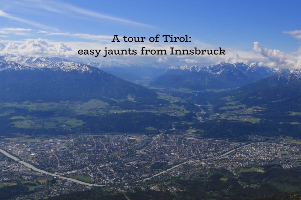
After a mid-May morning in the Alpbach alpine valley, I spent the afternoon on rail to Brenner via Innsbruck, with both legs of the Innsbruck-Brenner stretch on the S-Bahn Tirol S4* train. I used my Eurail Pass the entire day.

Squeezed between the Stubai- and Zillertal-Alps in the Wipptal (Wipp valley), Brenner Pass stands at an elevation of 1370 metres (4495 feet) above sea level and is one of the lowest mountain passes in the Alps. The low mountain pass meant that humans have known about, climbed, and traversed this area for thousands of years. It’s also why the Romans incorporated this pass from the 2nd century AD/CE as a part of a critical north-south trade and security link between the heart of the empire to the south and the frontier provinces to the north.

By the Middle Ages, the pass was a part of the Holy Roman Empire on the “Via Imperii”; this imperial road stretched from Rome to Stettin via Florenz, Verona, Innsbruck, Augsburg, Nürnburg, Leipzig, and Cölln (Berlin). In the mid 15th-century, most long-distance trade between Augsburg and Venice was transported through Brenner Pass; by the early 16th-century, a north-south postal route was founded.

Empress Maria Theresa of the Habsburg Empire ordered in 1777 an upgrade and development of the road through the pass to mitigate the dangers of summer landslides and winter avalanches on the important trade route. Recognizing good timing and an opportunity, German writer Johann Wolfgang von Goethe travelled through Italy between 1786 and 1788, fulfilling a lifelong dream. Goethe would have started from Munich and travelled on the road for two days with a stop in Innsbruck before entering Italy. From his notes, he published in 1816 “Italian Journey” which became a best-selling book of its time and paved the way for Germans to satisfy their romantic dreams by travelling to Italy. The Brenner Railway line was inaugurated in 1867, heralding a faster connection between Innsbruck and Bolzano and the first rail line through the Alps. Construction of the 38-kilometre Brenner Autobahn between Innsbruck and Brenner Pass began in 1959 and by April 1971, drivers got to experience the full width of a speedy highway, now known as the A13 in Austria and E45 in Europe.

From its origins, the road today is a vital link between northern and southern Europe, providing trade shipments by truck and rail transports. Concern about environmental impact by record numbers of trucks (about 2 million every year#) is also why the European Union initiated construction of the Brenner Base Tunnel to divert more freight onto rail and further cut rail journey times between Austria and Italy by about an hour.

It’s difficult to imagine a time in the recent past where this border was heavily guarded and all traffic was stopped and checked, with stories of smugglers secretly climbing over the border mountains in the dark and stories of death from exposure and misadventure. With Austria’s formal acceptance of the Schengen Agreement and entry into the Schengen Area, all border controls here were abolished on 1 April 1998.

Separate European nations with unguarded borders was once thought impossible. It’s a modern idea that cannot be underestimated and for which I’m thankful: I arrived by plane in Frankfurt, Germany where I entered the European Union. Because Germany, Austria, and Italy are within the Schengen area, I was able to travel freely among these nations. From Stazione Brennero, I walked out into town and across the border from Italy to Austria and back again, without checks or controls.

* S4 in May 2018; renumbered to S3 as of Oct 2020.
# 2 million trucks per year, 5500 per day, or about 230 per hour. Delivering goods is an important economic engine, but that’s a lot of trucks, noise, and exhaust.


( Click here for images and more )

Neustift im Stubaital, Stubaital, Stubai valley, Tirol, Tyrol, Austria, Oesterreich, fotoeins.com

Fotoeins Friday in the Alps: Neustift im Stubaital

You can’t escape the mountains in Austria’s Tirol: not that I would, because why would anyone want to miss out on any of this natural beauty. An easy trip by bus or tram (Stubaitalbahn STB) from Innsbruck takes visitors into various towns in the Stubai valley including Neustift im Stubaital. Reaching deeper into the valley gets you to Mutterbergalm and up into the Alps near the Austro-Italian frontier. Spring activities in the area include hiking, climbing, and paragliding. This view faces southeast into town with the Catholic parish church (Pfarre Neustift at lower-centre); in the background at left-centre and upper-right are Kesselspitze (2720 metres) and Elferhütte (2080 metres), respectively.

I made the photo above on 12 May 2018 with a Canon 6D mark 1 and the following settings: 1/400-sec, f/16, ISO1000, and 24mm focal length. This post appears on Fotoeins Fotografie at fotoeins DOT com as https://wp.me/p1BIdT-glY.

Vals, Brennerbahn, S-Bahn Tirol, St. Jodok am Brenner, Brenner Pass, Tirol, Tyrol, Austria, Oesterreich, fotoeins.com

Fotoeins Friday in the Alps: St. Jodok am Brenner

On board the S-Bahn Tirol S4 train south to Brenner, I’m bouncing from one side of the car to the other; the valley views open up one instant and another set of views open up on the opposite side. Just after departing St. Jodok, the track makes a tight turn in the small Wipptal valley. In doing so, the train slows down, and I luck out with this west-facing view; I can make out the town’s distinctive Pfarrkirche zum heiligen Jodok Catholic parish church (1427) and in the background mountains Kesselspitze (2720 metres) and Serles (2717 metres).

I made the photo above on 14 May 2018 with a Fujifilm X70 fixed-lens prime and the following settings: 1/250-sec, f/11, ISO1000, and 18.5mm focal length (28mm full-frame equivalent). This post appears on Fotoeins Fotografie at fotoeins DOT com as https://wp.me/p1BIdT-glp.

Vals, Brennerbahn, S-Bahn Tirol, St. Jodok am Brenner, Brenner Pass, Tirol, Tyrol, Austria, Oesterreich, fotoeins.com

Fotoeins Friday: S-Bahn Tirol from Innsbruck to Brennero

I’m on board a S4 S-Bahn Tirol train from Innsbruck southbound to Brennero in Italy. I took this picture as the train departed St. Jodok station and rounded the “bend” in the valley. The train is on a gradual ascent, the valley narrows, and the mountains grow taller. The landscape seems to expand, even as hamlets and houses dotting the valley floor look tiny. That’s the unfolding present as the train crosses the border from Austria into Italy, and we pull slowly into the train station at Brennero for S4’s final stop.

I made the picture above on 14 May 2018 with an Fujifilm X70 mirrorless fixed-prime and the following settings: 1/250-sec, f/11, ISO1000, and 18.5mm focal length (28mm full-frame equivalent). This post appears on Fotoeins Fotografie at fotoeins DOT com as https://wp.me/p1BIdT-d00.


Paraglider, Neustift im Stubaital, Stubaital, Stubaier Alpen, Stubai Alps, Tirol, Tyrol, Austria, Oesterreich, fotoeins.com

Fotoeins Friday: Paragliders over Neustift in Stubaital

With my base established in Innsbruck, I already spent the morning exploring a little bit of Scharnitz at the Austria-German border. I’m on the 590 bus from Innsbruck to Neustift im Stubaital, and I catch sight of paragliders in the foreground, as well as the dot-silhouettes of several others riding the thermals high up in the distance. Late-spring and summer provides a wealth of ground-, alpine- and aerial-based activities in the Stubaital (Stubai valley).

I made the picture above on 12 May 2018 with a Fujifilm X70 and the following settings: 1/250-sec, f/16, ISO1000, and 18.5mm focal length (28mm full-frame equivalent). This post appears on Fotoeins Fotografie at fotoeins.com as https://wp.me/p1BIdT-cXl.


Hafelekar, Nordkette, Nordkette cable car, Nordkettenbahn, Hungerburg funicular, Hungerburgbahn, Innsbruck, Tirol, Tyrol, Oesterreich, Austria, fotoeins.com

My Tirol: day trips from Innsbruck

As one of nine states within the federal republic of Austria, Tirol is well known not only for all-season access to the Alps, but also for a variety of other attractions.

With transport authorities IVB Innsbruck, VVT Tirol, and ÖBB Austria, Tirol state capital Innsbruck was the base from which I travelled to Alpbach (half-day), Brenner (half-day), Hall in Tirol (half-day), Nordkette (half-day), Scharnitz (half-day), Stubaital (half-day), and Wilder Kaiser (full day).


( Click here for more )

Zugspitze: can I see Italy from here?

“If I’m at the highest point in Germany, can I see Italy?”

Over the years, I’ve seen at various times the claim made about seeing Italy from the tallest mountain in Germany.

I’m startled by the winter morning sun, streaming through the window into my hotel room in Garmisch-Partenkirchen. I rise slowly from the bed, barely able to keep my eyes open. I shuffle across the room, and pull the small linen drapes aside. It’s blue everywhere, and there isn’t a cloud in the sky. My eyes are now wide open, heart pumping with excitement, because I know skies are gonna be clear up top. Later I learn forecast conditions for the Zugspitze summit are excellent: mostly sunny, visibility out to 160 kilometres (100 miles) with a high temperature of -8C/+18F. Cold, but very doable. It’s also why I have with me 70-300 glass for the long zooms.

Below I show photographs with sightlines and their corresponding average azimuths*: east-southeast (107 degrees), southeast (138 degrees), south (175 degrees), southwest (210 degrees), west-southwest (250 degrees). I label specific mountain peaks of interest in addition to the flag of the country where the mountain is located. In a few cases, mountains lie along the border between two nations in which case I provide two country flags. For the labeled peaks, I’ve also provided further information about mountain heights and sightline distances in the map below.

Spoiler alert: not only am I able to spot mountains in Italy, but also other peaks in Austria, Switzerland, and Liechtenstein.


( Click here for images and more )

%d bloggers like this: