Fotoeins Fotografie

location bifurcation, place vs. home

Posts from the ‘Europe’ category

Freistaat Bayern, The Free State of Bavaria

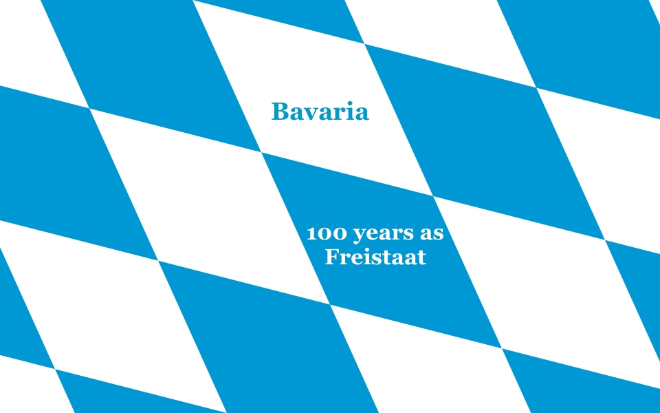
Bavaria: 100 years of statehood (2018)

Featured image: The blue and white diamonds (fusils) are a familiar Bavarian symbol, adopted in the late 13th-century by the Wittelsbach family who ruled Bavaria from 1180 to 1918.

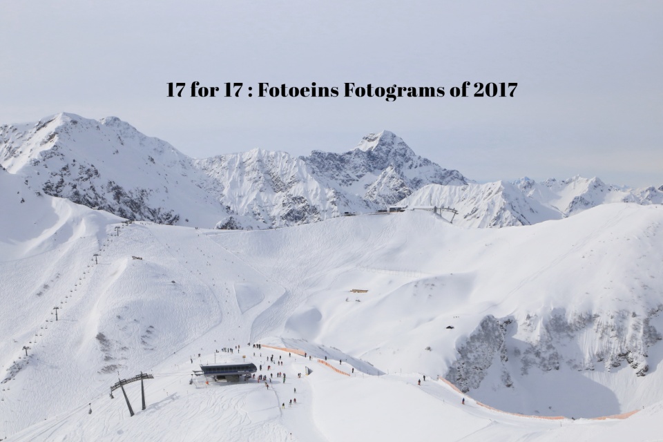
As a product of the coastal and mountainous Canadian Southwest, I always feel the pull exerted by the Bavarian Alps regardless of where I am in Germany; it’s been this way over the past 18 years. But there’s more to Bavaria than fairytale castles, Oktoberfest, and BMW, although they’re spot on for the Wurst (sausage). And frankly, there’s a ton more to Germany than Bavaria, but that’s one of many reasons for this entire blogsite after all.

Located in southeast Germany, Bavaria includes more than a half-dozen World Heritage Sites, the pre-Easter Fasching/Fastnacht festival, the sight of Audis on the Autobahn, over one thousand years of wine-making in Franconia, and violin-making since the late 17th-century, among many things to explore, eat, and experience.

( Click here for more )

17 for 17, Fotoeins Fotograms of 2017, fotoeins.com

17 for 17: Fotoeins Fotograms of 2017 (IG)

Featured: At the Germany-Austria border, from Fellhorn mountain near Oberstdorf: 8 March.

Another year gone, another 34-thousand images made*

As the image above shows, I also spent a lot of time this year at the Austrian-German frontier, much of it at altitude.

Below I look back at the year 2017 with a selection of 17 images. Each picture is a direct clickable link to the corresponding post on Instagram.

( Click here for more )

Mengenlehreuhr, set theory clock, Berliner Uhr, Berlin Clock, Sixt, Europa-Center, Budapester Strasse, Charlottenburg, Berlin, Hauptstadt, Germany, fotoeins.com

My Berlin: An Unusual (Set Theory) Clock

I had read about this unusual clock years ago; the unusual mathematics connection was an additional “plus”.

I leave the crowds at Gedächtniskirche and Breitscheidplatz and head on over to the SixT car rental outlet on Budapester Strasse. What’s standing in front is most certainly a curiosity, even as passers-by look at me curiously.

The Berlin Clock is known in German as “Berliner Uhr”. The alternate name is “set theory clock” or “Mengenlehreuhr”, a German compound word consisting of “Menge” for quantities (sets), “Lehre” for theory, and “Uhr” for clock. The Guinness Book of Records claimed “the Berlin Clock was the first clock in the world operating according to the principles of set theory1“.

Created by inventor Dieter Binninger, the clock first stood at the corner of Kurfürstendamm and Uhlandstrasse in West Berlin from 1975 to 1995. Local business arrangements were made with Binninger’s widow for a long-term loan including maintenance costs, and the clock was moved in 1996 to its present location at the Europa-Center.

Here is how one reads the Berlin Clock:

  • Top circle: light flashes every 2 seconds; ‘on’ 1-second, ‘off’ 1-second
  • 1st row: hour of day in 5-hour increments, up to 20
  • 2nd row: hour of day in 1-hour increments, up to 4
  • 3rd row: minutes in 5-minute increments, up to 55
  • 4th row: minutes in 1-minute increments, up to 4

Time shown in the above featured image is 1310 hours or 110pm, which breaks down as (2 x 5) + (3 x 1) hours and (2 x 5) + (0 x 1) minutes.

( Click here for more )

Koblenz: 1st and 2nd Deutsches Eck (German Corner)

Above: West view to Deutsches Eck from Ehrenbreitstein. 2015 photo by Taxiarchos228 (Wladyslaw Sojka). I’ve added the following labels: (1) Seilbahn/Gondola, (2) St. Kastor Basilica, (3) Deutschherrenhaus, (4) first Deutsches Eck, (5) Memorial to German Unity (Kaiser Wilhelm Memorial), (6) reclamation in the late 19th-century, (7) second Deutsches Eck.

Many will know, have seen, or have read about the Deutsches Eck (German Corner) in the German city of Koblenz. The river city has plenty to provide: visitors wander into the vineyards to sip on crisp white wine from local grapes, vacation on long cabin-boats to enjoy the river scenery, or explore the surrounding Upper Rhine River Valley.

But Koblenz is also well known by virtue of its name after the junction where the rivers Moselle and Rhine meet. By the first-century AD/CE, the Romans had built for strategic protection a fort1 called “Castellum apud Confluentes“, Latin for “the castle at the confluence”. What most commonly acknowledge as the Deutsches Eck (German corner) is not the original location. Half concealed among the trees some 200 metres back near the Deutschherrenhaus is the first location of the Deutsches Eck.

What follows:

  • a map to the area and my photos from the present-day,
  • a short history of the “Deutsches Eck,” and
  • archival images from the mid-16th century to early 20th century.

( Click here for images and more )

Zugspitze: spotting the Alps across 5 nations

“If I’m at the highest point in Germany, can I see Italy?”

Over the years, I’ve seen at various times the claim made about seeing Italy from the tallest mountain in Germany.

I’m startled by the winter morning sun, streaming through the window into my hotel room in Garmisch-Partenkirchen. I rise slowly from the bed, barely able to keep my eyes open. I shuffle across the room, and pull the small linen drapes aside. It’s blue everywhere, and there isn’t a cloud in the sky. My eyes are now wide open, heart pumping with excitement, because I know skies are gonna be clear up top. Later I learn forecast conditions for the Zugspitze summit are excellent: mostly sunny, visibility out to 160 kilometres (100 miles) with a high temperature of -8C/+18F. Cold, but very doable. It’s also why I have with me 70-300 glass for the long zooms.

Below I show photographs with sightlines and their corresponding average azimuths*: east-southeast (107 degrees), southeast (138 degrees), south (175 degrees), southwest (210 degrees), west-southwest (250 degrees). I label specific mountain peaks of interest in addition to the flag of the country where the mountain is located. In a few cases, mountains lie along the border between two nations in which case I provide two country flags. For the labeled peaks, I’ve also provided further information about mountain heights and sightline distances in the map below.

Spoiler alert: not only am I able to spot mountains in Italy, but also other peaks in Austria, Switzerland, and Liechtenstein.

* Azimuths are measured with north at 0 degrees, east at 90, south at 180, and west at 270 degrees.


( Click here for images and more )