Waitangi Day (6 Feb): 15 images from Aotearoa
Above/featured: The kea is the world’s only alpine parrot and on the endangered list; on Milford Road near Homer Tunnel.
On the 6th of February, I’ll be humming “E Ihowa Atua” and “Pokarekare Ana”.
Waitangi Day is a national holiday in New Zealand to commemorate the signing of the Treaty of Waitangi on 6 February 1840. As the founding document of the country, the Treaty of Waitangi (Te Tiriti o Waitangi) is an accord agreed upon by representatives of the Crown (British Empire) and of indigenous Māori iwi (tribes) and hapū (sub-tribes). The agreement is named after the name of the location in the Bay of Islands where the Treaty was first signed. Despite continuing disagreements between the two parties about contemporary extent and redress, I think the conversation and interactions between the communities are at a more advanced stage of integration within the nation’s fabric by comparison with Australia and Canada.
For Aotearoa, the New Zealand government approved in October 2013 formal names of the two main islands in Māori and English:
• Te Ika a Māui (“the fish of Māui”) for the North Island, and
• Te Wai Pounamu (“the waters of greenstone”) for the South Island.
I highlight Aotearoa with 15 images of the following locations:
- Akaroa
- Auckland
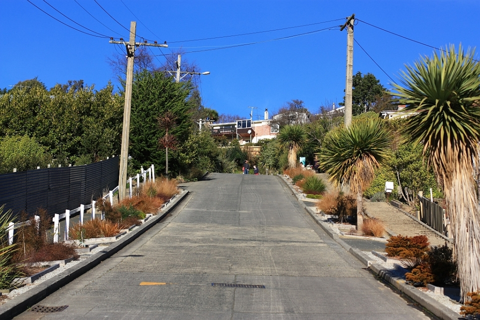
- Dunedin
- Franz Josef Glacier *
- Greymouth
- Hapuku (Seaward Kaikouras)
- Homer Tunnel *
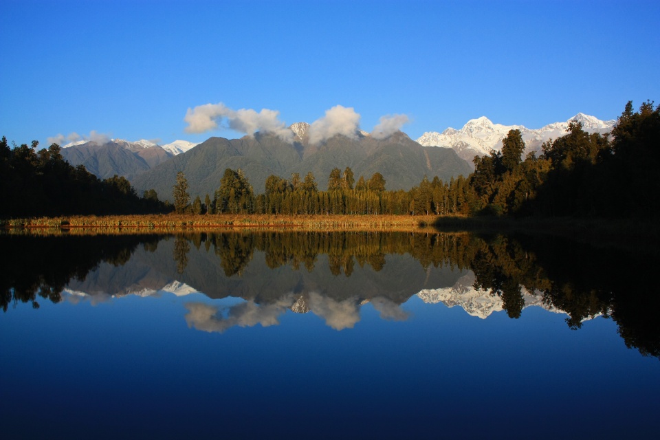
- Lake Matheson *
- Milford Sound *
- Queen Charlotte Sound
- Queenstown
- Southern Alps *
- Waimakariri River
- Wellington City
- Wellington Harbour
Asterisks identify locations within the Te Wāhipounamu area in South West New Zealand which was inscribed in 1990 as UNESCO World Heritage Site that includes four national parks: Aoraki/Mount Cook, Fiordland, Mount Aspiring, and Westland Tai Poutini.