Fotoeins Fotografie

location bifurcation, place vs. home

Posts from the ‘USA’ category

The Pi(e) in Pie Town (US-60)

Above/featured: Welcome to Pie Town. The 2018 Pie Festival was held on 8 September.

The two words reach your eyes and enter your brain.

Pie Town.

The questions are immediate.

What? Who? Why? How do I get there? Is there really pie?

A sense of calm eventually prevails, and that’s when planning begins. Because there’s firm promise: “oh there will be pie.”

Fast forward to our drive through the American Southwest over three weeks in October 2018, and our adventure is drawing to a close.

With morning sun and excellent conditions, we’ve departed Tucson for a long drive for which there are three goals. One, we must arrive in Santa Fe by tonight to catch our flights out the next day. Two, we have to stop in Albuquerque for a return visit and chomp on a spicy stuffed sopapilla at Mary & Tito’s Cafe before they close at 8pm. Three, we’re desperate to visit Pie Town which by design is on the way to Santa Fe. We’re on the road for over 300 miles (480 kilometres) through Arizona, into New Mexico, and to Pie Town, and that’ll be followed by another 220 miles (350 kilometres) to Santa Fe.

The car continues to roll along the paved undivided two-lane highway on a stretch of lonesome landscape with short stubby hills and tall grassy fields for company. US-60 is nowhere as famous as its northerly US-66 counterpart; both are historic national highways. As some have noted, driving present-day US-60 comes very close to similar conditions on US-66 in the latter’s bygone heyday.

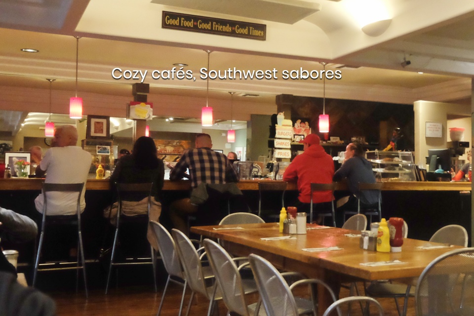
The miles add up, and the hours tick by. Isolation is punctuated by farms, ranches, and small towns. We’ve made notes about the towns, because there’s always a need for fuel: gas for the car, snacks and drinks for the occupants. Small towns may not look like much on first approach, but I know the welcome greeting and warm atmosphere are in store as soon as we step inside a shop or restaurant.

Our destination in New Mexico isn’t “nowhere.”

Because there, pie awaits.

( Click here for images and more )

Grand Canyon National Park: The North & South Rim

Above/featured: West-northwest from Mohave Point – 15 October 2018.

The Grand Canyon National Park has very different timescales: over 100 years of human inscription as a national park, but almost 2 billion years of geologic history.

European colonizers and settlers recognized protection was required for the big dramatic landscape. On 26 February 1919, U.S. Congress passed legislation “An Act to Establish the Grand Canyon National Park in the State of Arizona” which was signed by President Woodrow Wilson. With its official designation, the country’s 15th National Park encompasses over 1-million acres (almost 405-thousand hectares) in surface area and several thousand years of history of human habitation by indigenous peoples, including the Havasupai, Hualapai, Hopi, Navajo, Paiute, and the Zuni, who consider the Grand Canyon as their ancestral birthplace. UNESCO inscribed the Grand Canyon National Park as World Heritage Site in 1979.

The park also includes over a billion years of geologic history. By geologic standards, the Grand Canyon itself is relatively “young” with the Colorado River carving into the rock about 5 to 6 million years ago. However, the Vishnu basement rock in the Grand Canyon is over 1.7 billion years old, even though that age is only 38 percent as old as the Earth’s oldest rocks at 4.5 billion years.

Over three days in October 2018, we explored parts inside Grand Canyon National Park. After our drive from Flagstaff to Vermilion Cliffs, we pushed forward to the North Rim and the winding scenic drive through the Kaibab National Forest took us to Point Imperial and Cape Royal in time for the day’s final illumination.

With a night spent at the beautifully serene Cliff Dwellers Lodge, we retraced our drive back to Cameron, then heading west to Desert View to the eastern section of the South Rim. After establishing our new ‘base’ in Flagstaff, we drove the following day to the main entrance of the Grand Canyon National Park (via Valle and Tusayan), and we spent the day in the western and central sections of the South Rim. The 1126 km (700 mi) we covered over the three days made up 22 percent of the entire 5049 km (3138 mi) driving distance accumulated in New Mexico and Arizona.


( Click here for images and more )

Classical Gas Museum, Embudo, NM, fotoeins.com

Colours of the American Southwest

Above/featured: Classical Gas Museum: Embudo, NM – 11 Oct 2018 (X70).

I wrote previously about our time (in autumn 2018) driving through parts of the American Southwest where I also gave more “shutter workout” to my Fujifilm X70 compact mirrorless camera.

We’d seen an abundance and variety of colours throughout our journey, and upon return, I asked myself from what we had witnessed if there were sufficient examples to show. What follows below are sets of images from Arizona and New Mexico, with colours distributed throughout the “ROYGBIV spectrum”: Red, Orange, Yellow, Green, Blue, Indigo, Violet.

( Click here for more )

Bugs Bunny, Warner Bros. Cartoons, Bully for Bugs (1953)

That Left Turn in Albuquerque, 1938-2019

Above/featured: Image still from “Bully for Bugs” (originally, Warner Bros. Pictures, 1952).

Something is burrowing through the desert when a creature pops up through a hole in the dirt. A grey rabbit stands, brushing himself off and looking at his surroundings. Realizing he’s not where he should be, he checks his map and says aloud with mild irritation:

I knew I should’ve taken that left turn at Albuquerque.

That Bugs Bunny statement is a frequently used gag in a number of Warner Brothers cartoons. But in all seriousness, it is a very specific geographical reference. What does Bugs mean by “that left turn?” Is it a real thing?

Let’s go to New Mexico in the American Southwest, to Albuquerque, whose modern development has been shaped by the car and high-speed roads. The city’s history is tied with the creation of the American highway and one of the most well-known: US route 66.

After the 1937 realignment of highway US route-66, Albuquerque’s Central Avenue became the east-west “Mother Road” through the city. Driving west on Central Avenue towards the city’s Old Town district, the road bends slightly right and northwest to run parallel with the Rio Grande river. The road eventually comes up to a junction, and drivers are faced with choices at the intersection of what are now Central Avenue and Rio Grande Boulevard.

•   Turn right, and drivers are headed away from US-66, northbound towards Santa Fe.
•   Jig slightly left, and drivers continue westbound on US-66 towards Arizona and beyond to the highway’s western terminus in Los Angeles, California.

John Deeth also wrote about the “left turn” in August 2011.


( Click here for more )