Waldfriedhof Heerstrasse (Heerstrasse forest cemetery)
Is this a small park with plenty of trees, hilly terrain, and a small lake? Or is this simply a forest cemetery, a final resting spot for many prominent Berliners?
As part of an ongoing search for gravesites for physicists and mathematicians in Germany, I visited Berlin’s Friedhof Heerstrasse, near the city’s Olympic Stadium. Within the cemetery is Sausuhlensee lake, which settled into a former glacial gully, around which much of the cemetery came into being in 1924. Named after the early 20th-century Heerstrasse estate district whose residents were to be buried here, the cemetery stretches out over an area of almost 15 hectares (37 acres).
I found the grave for physicist Hermann Minkowski, but among the buried there are other “Promis” (prominent).

Forested park, forest cemetery.
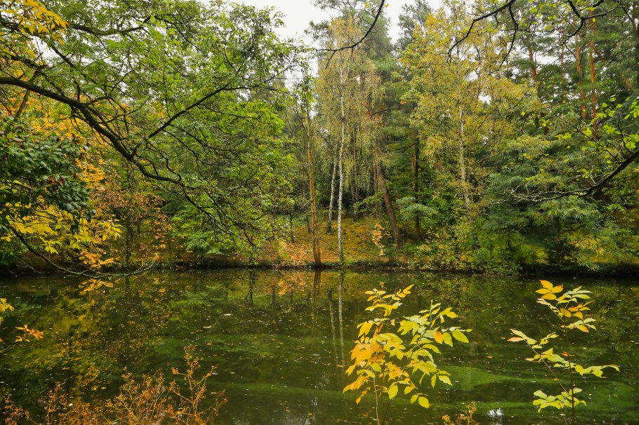
The calm waters of Sausuhlensee lake on an autumn afternoon.
( Click here for images and more )
52.513830
13.247089