2 August 2014.
I’m in one of the city’s hospitals, visiting my father who’s in very bad shape.
I’ve helped feed him dinner of roast pork, peas, and gravy, a direct sensory reminder of his past as ‘line cook’ in a downtown diner nearby. He eats with great enthusiasm, the most I’ve seen him eat in weeks. Dinner’s done, and he’s worn out. I suggest we go “around the corner” with him in a wheelchair to watch the evening’s fireworks, but he gently declines. A twinge reflects the growing reality of him never seeing fireworks again, but the feeling is moderated by resolved acceptance and mild resignation.
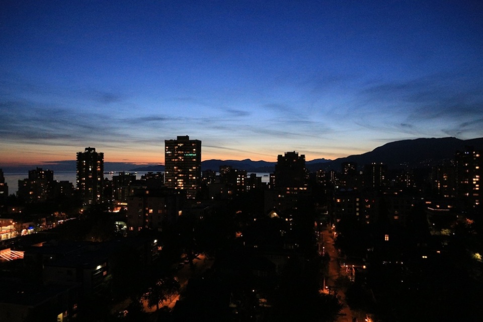
I go out into the corridor where people have already gathered by the windows next to the elevators. From the heights of the hospital, there are spectacular views of the downtown peninsula, towards Burrard Inlet, English Bay, and the waters of the Salish Sea. What sacred spirits have come and gone, then and the now.
Waiting patiently to catch a brief glimpse of fireworks are other hospital patients, their family, and various hospital staff taking breaks in their work schedule. It’s a four-day holiday weekend here in the province of British Columbia, and early August weather is summertime hot under the dome of clear blue skies.
Judging by the look in some people’s eyes, I empathize with feelings which must remain unspoken: “I’d rather be outside, laughing and having a good time, surrounded by family and friends.”
I thought about making a few photographs of the fireworks through the large windows, but something pulls me back, and I decide not to image the fireworks directly.
My thinking about this situation quickly clarifies. What I’ll do is record people watching the fireworks through the windows of the hospital’s upper floors.
They are not forgotten. It’s my promise to capture with a camera’s all-seeing eye an elemental and universal desire for something beyond the ephemeral and temporal, something that approaches a kind of eternity.
( Click here for images )
49.280633
-123.128005