Oberstdorf: Sunday Allgäu night auf Deutsch
Why multiple languages rock my world
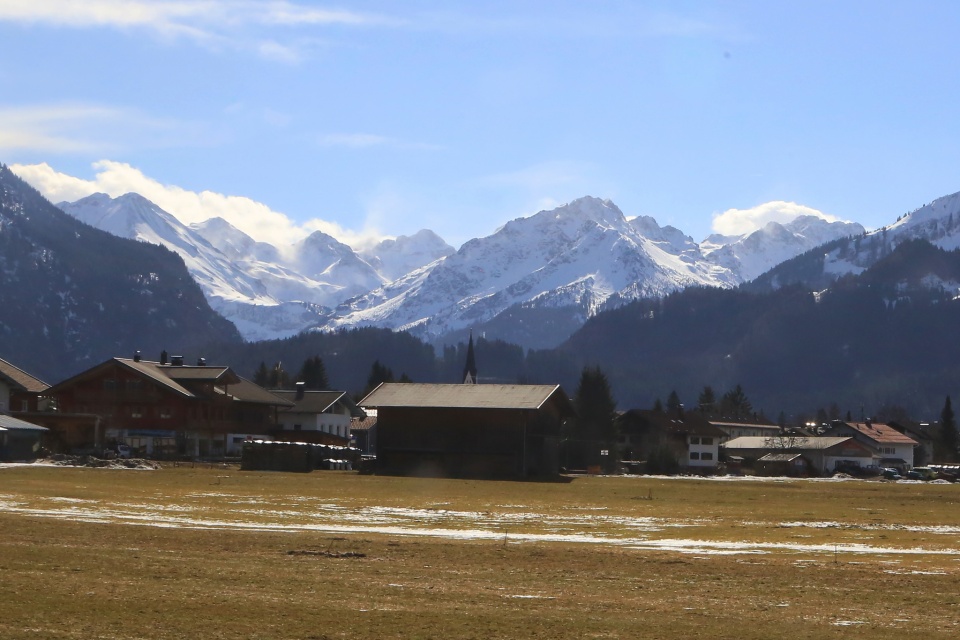
With fewer than ten-thousand inhabitants, Oberstdorf in southern Bavaria is as its German name suggests: an “upper village” tucked in the Allgäu Alps near the German-Austrian border. Yet, the town feels busy and full with skiers, snowboarders, and winter hikers.
It’s Sunday night and I’m on the hunt for “schnitzel and spätzle.” With my eye already on a place, I arrive at 630pm to a full house. I don’t have a reservation (which is dumb in a small town), but a table of four is available (which is fortunate). The server offers me the table, with the condition I’ll be sharing the table if two people want places. “Alles klar,” I reply.
I order a standard half-litre Weizen beer, along with the required schnitzel-and-spätzle platter. An elderly couple is offered two places at my table; they take one glance in my direction, and they’re gone. The server wears a puzzled look, and I can only shrug. A second couple arrives ten minutes later, and as they approach my table with curiosity, I tell them “die Plätze sind noch frei” (the places are available). They express their thanks, and take their seats across from me. Those last five German words set a positive tone for the rest of the evening.
