Since 1996, the Botanical Gardens of Buenos Aires in the affluent neighbourhood of Palermo is one of Argentina’s national cultural monuments. The gardens’ full name is Jardín Botánico Carlos Thays after the French landscape architect Carlos Thays who arrived in Argentina in 1889 and became the Buenos Aires’ Director of Parks and Walkways in 1891. The gardens contain thousands of plant varieties over a seven-hectare spread.
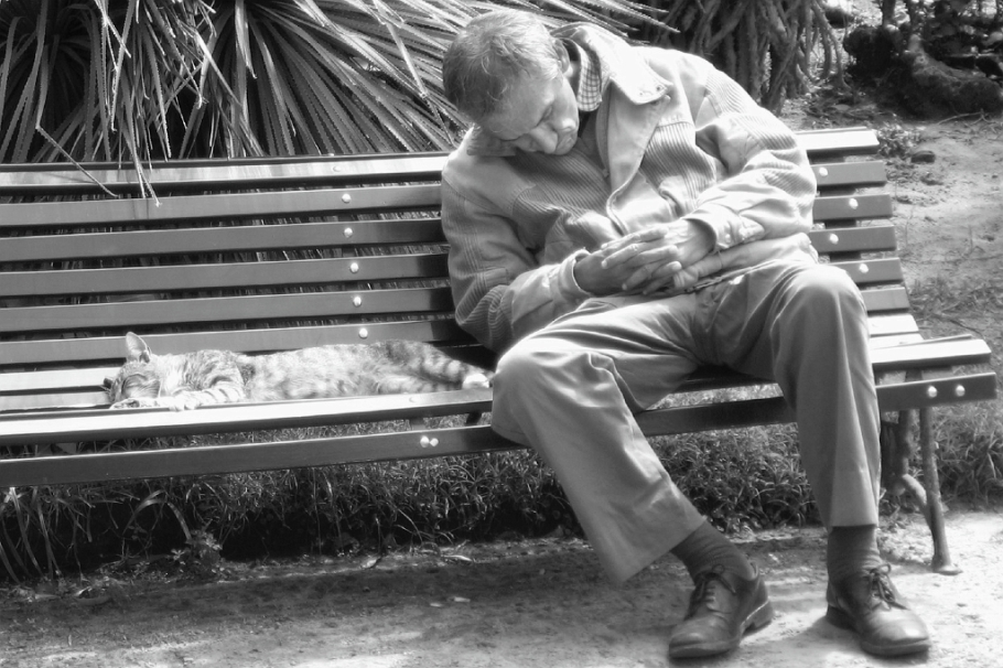
The Gardens also have the unfortunate reputation as the home to unwanted domesticated cats. Early calls to remove or destroy the feline population were met with fierce opposition. Interested volunteers have formed the committee, Asociación Civil Gatos Botánico (on Facebook and Twitter). With several hundred cats in the gardens, people have a tough job keeping up, taking their own time and money to neuter, care, feed, and vaccinate the cats, as well as organizing suitable candidates for adoption into new homes.
• “Everything You Need to Know About the Cats of the Jardín Botanico”, by Mark Pampanin, The Bubble, 20140604.
• “La tarea de los voluntarios del Jardín Botánico es enorme – nos ocupamos del bienestar 250 gatos en estado de abandono.” Por Silvina Rufrancos, La Prensa, 20140820.


I made these photographs with a Canon PowerShot A510 on 23 March 2008 in Buenos Aires, Argentina. This post appears on Fotoeins Fotopress at fotoeins.com as http://wp.me/p1BIdT-884.
-34.582549
-58.417350


